NewRadar Cross SectionKGLD · Goodland, KS
1
Click Point AStart on one side of the storm
2
Click Point BDraw a line across the core
3
The Slice RisesA vertical profile stands up from the map
Radar Cross SectionsEvery Plan
Slice Through Any Storm
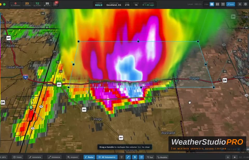
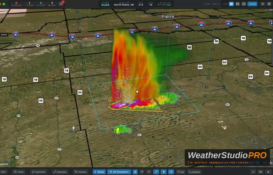
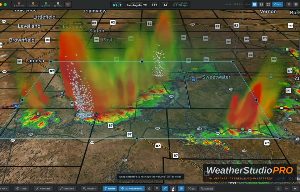
Click two points across a storm and WeatherStudioPRO raises a vertical slice straight out of the map, with altitude marked beside it. Viewers see how tall the core reaches and where the hail is held aloft, right above the roads and towns they know.
Want the whole storm, not just a slice?Go full 3D with Volumetric Radar on Pro Plus & Pro Elite.
See it ↓
What you control
Point-to-Point SliceClick A, click B · redraw anytime
Altitude ScaleHeight labels in feet
Stands on the MapRoads, towns and warnings stay visible
Tilt & OrbitView the slice from any angle